Skip to main contentResource added 
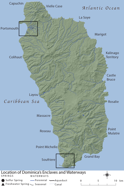

Map I.2, Dominica's Enclaves and Waterways
Full description
MAP I.2. Location of Dominica’s Enclaves described by M. R. Trouillot, 1988. Illustration by author.
Comments
to view and add comments.
Annotations
No one has annotated a text with this resource yet.
- typeImage
- created on
- file formatjpg
- file size1 MB