Skip to main contentResource added 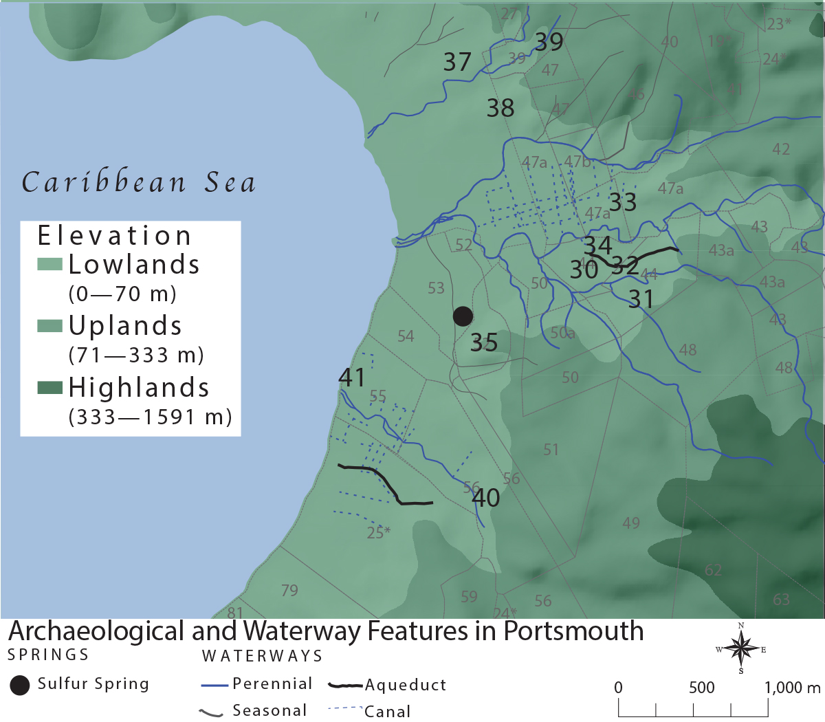

Map 3.3, Archaeological and Waterway Features in Portsmouth
Full description
Map 3.3. Landscape and waterway features in Portsmouth located during the course of archaeological survey. See table 3.1 for identification of features related to each location. Not shown on the map are loci 40, 42, 43, 44, and 45. Illustration by author.
Comments
to view and add comments.
Annotations
No one has annotated a text with this resource yet.
- typeImage
- created on
- file formatjpg
- file size556 kB