Skip to main content
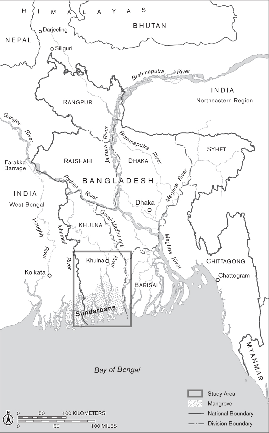
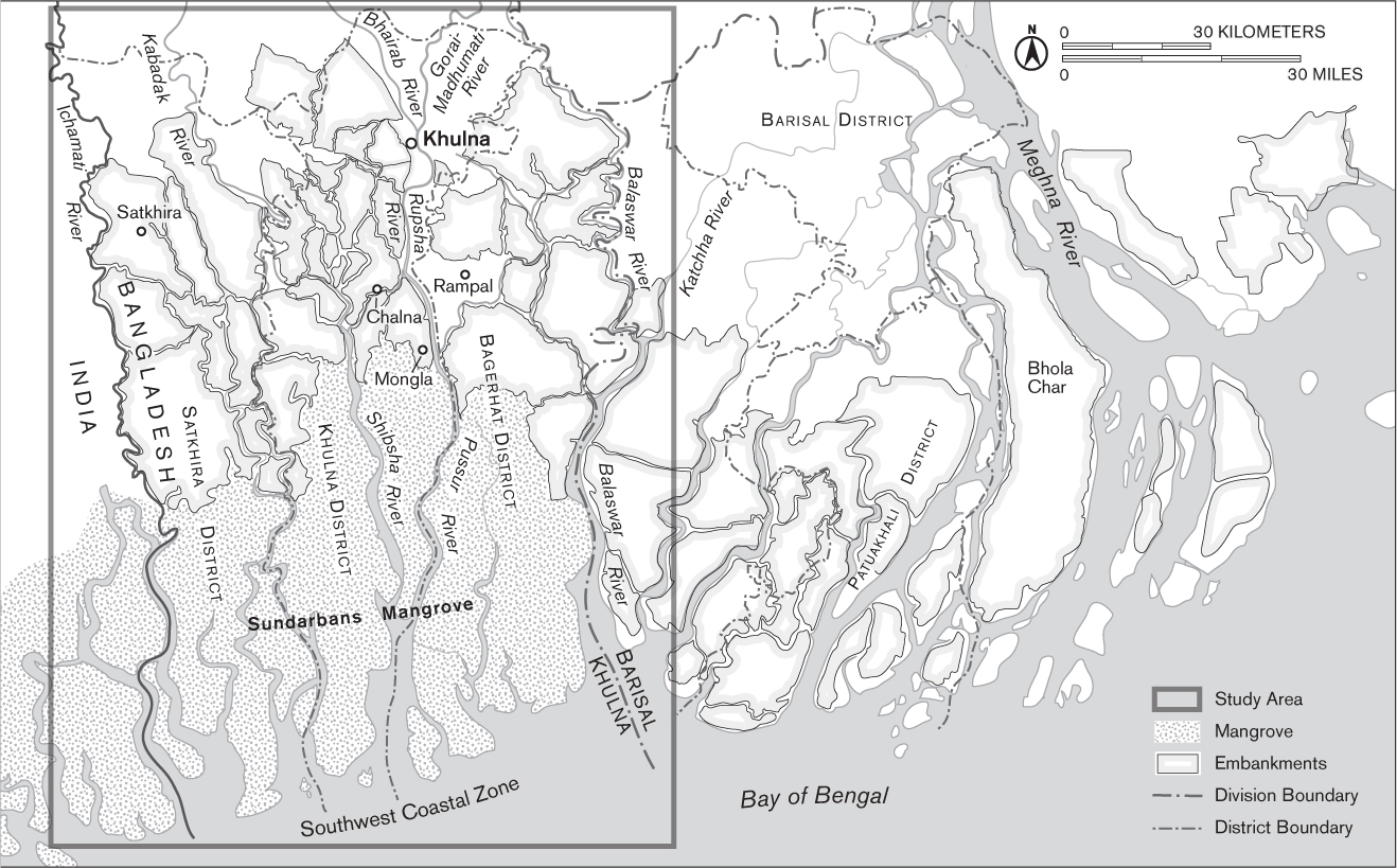
table of contents
Abbreviations
| BDT | Bangladeshi Taka |
| BWDB | Bangladesh Water Development Board |
| CEIP | Coastal Embankment Improvement Project (2013–2022) |
| CEP | Coastal Embankment Project (1960s) |
| CGIAR | Consortium of International Agricultural Research Centers |
| FAP | Flood Action Plan |
| IPCC | Intergovernmental Panel on Climate Change |
| IRRI | International Rice Research Institute |
| LGED | Local Government Engineering Department |
| NGO | Nongovernmental Organization |
| OOP | Out-of-Pocket Expenditure |
| ppt | parts per thousand |
| PRSPs | Poverty Reduction Strategy Papers |
| SAPs | Structural Adjustment Policies |
| TRM | Tidal River Management |
| USAID | United States Agency for International Development |
| WaSH | Water, Sanitation, and Hygiene |
| WFP | World Food Programme |
Map 1. Bangladesh. Mapped by Ben Pease.
Map 2. Southwest and South-Central Coastal Zones. Mapped by Ben Pease.