
Proceedings of the Eighth Annual UW GIS Symposium: Co-Seismic Landslides and Reactivations

Proceedings of the Eighth Annual UW GIS Symposium
Co-Seismic Landslides and Reactivations
    • Notifications
    • Privacy
  • Project HomeUniversity of Washington GIS Symposiums
  • Projects
  • Learn more about Manifold

Notes

Show the following:

  • Annotations
  • Resources
Search within:

Adjust appearance:

  • font
    Font style
  • color scheme
  • Margins
table of contents
  1. Title Page
  2. Contributors
  3. Contents
  4. Preface
  5. Keynote
  6. Lightning Talks
    1. Unlocked Maps: A Web-Based Map for Visualizing the Real-Time Accessibility of Urban Rail Transit Stations
    2. VoxLens: Making Geospatial Data Visualizations Accessible to Blind and Low-Vision Users
    3. The Folk Linguistic Online Mapping tool (FLOM) - Challenges, Opportunities and Next Steps
    4. Mobile Mapping System for 3D Road Asset Inventory of the Rural Road Network in Thailand
    5. Bird Friendly Campus: Analyzing Bird Window Collision Data
    6. Co-Seismic Landslides and Reactivations
    7. Assessing Environmental and Social Vulnerabilities to Natural Hazards in Coastal Communities: A Case Study of the U.S. Gulf Coast
    8. Using Location Data From Smartphones to Time a Small Marathon
    9. Environmental Justice in LA County Through the Lens of Remote Sensing

Co-Seismic Landslides and Reactivations

Luis Angel Guerrero Hoyos, Daniel Acosta Reyes, and Nishanthi Perera, Civil and Environmental Engineering Geotechnical Group

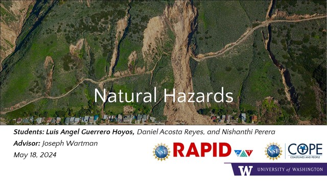
On 14 November 2016, the region surrounding Kaikoura, New Zealand, experienced a M7.8 earthquake which triggered over 10,000 landslides. The modes of landsliding were diverse, including shallow, soil slides; rock avalanches and rock falls; and massive, deep-seated rotational slumps (Massey et al., 2018). Extensive mapping of the landslides triggered by the November 2016 earthquake has been undertaken by the New Zealand Institute of Geological and Nuclear Sciences (GNS) and Hakan Tanyas and coauthors (2022) who developed their own landslides inventory publicly available. Over the years, the GNS has performed LiDAR and UAV - SfM surveys in the area that have served as the main dataset to develop the project. The main goal is to track ground changes after the coseismic landslides, see how they've progressed over time, and find geospatial correlations between ground changes. This study is focused on the LIDAR dataset collected by GNS between 2016 and 2018 and use the difference maps technique to identify the potential movements.


Natural Hazards slide

Annotate

Next Chapter
Assessing Environmental and Social Vulnerabilities to Natural Hazards in Coastal Communities: A Case Study of the U.S. Gulf Coast
PreviousNext
Symposiums
Powered by Manifold Scholarship. Learn more at
Opens in new tab or windowmanifoldapp.org